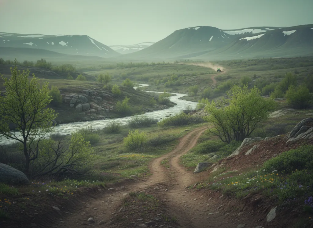
The Tonto National Forest encompasses 2.9 million acres surrounding the Phoenix metropolitan area on its north, east, and northeast flanks, the largest national forest in Arizona and one of the most visited in the United States, providing the primary recreation escape valve for five million Phoenix-area residents within a 60-to-120-mile drive from the urban core. The OHV trail system operates on designated routes across the forest's seven ranger districts, with the Tonto Basin, Globe, Cave Creek, Mesa, Payson, and Pleasant Valley districts all providing distinct riding terrain in a forest that spans three biotic zones from the Sonoran Desert at 1,400 feet to the Mogollon Rim ponderosa pine forests above 7,500 feet. The Mogollon Rim, the dramatic escarpment that forms the southern edge of the Colorado Plateau and the Tonto's northern boundary, provides the most popular high-elevation OHV terrain, with the forest roads and designated trails along the Rim accessible from Payson and Star Valley providing cool ponderosa pine riding above the desert heat. The Four Peaks Wilderness and Superstition Wilderness define the forest's iconic eastern landscape visible from Phoenix; OHV routes operate on the surrounding forest lands outside the wilderness boundaries in the Mazatzal Mountains and Sierra Ancha ranges that create the rugged terrain north and east of the Valley of the Sun. The Cave Creek and New River districts northwest of Phoenix provide lower-elevation desert riding in saguaro cactus-studded terrain before the forest transitions to the chaparral and pinyon-juniper mid-elevation zones. The Tonto is the most OHV-accessible large national forest in the American Southwest for an urban population. Arizona OHV decal required. Tonto NF supervisor's office in Phoenix (602-225-5200) manages forest-wide OHV policy.
Hours
Open year-round at lower elevations; Mogollon Rim routes close under snow. No day-use fee. Arizona OHV decal required on designated routes.
Phone
602-225-5200Trip openings, seasonal updates, and the occasional deal, straight to your inbox.
FAQ
Everything you need to know before you get started.
Have a question, or ready to book? Reach out and we’ll get right back to you.